If you own a home, you own the dirt, the driveway, and the roof. But how much of the sky directly above your back deck do you actually own?
For hundreds of years, legal tradition held that land ownership extended infinitely into the heavens. Today, if you hover a drone just one inch above your grass, you are no longer on private property—you have crossed into a managed federal highway. If you live within seven miles of an airport, the local control tower manages the airspace above your patio furniture right down to ground level.
How that law restricts a routine flight comes down to something as tiny as six grams.
The 250-Gram Micro-Drone Threshold
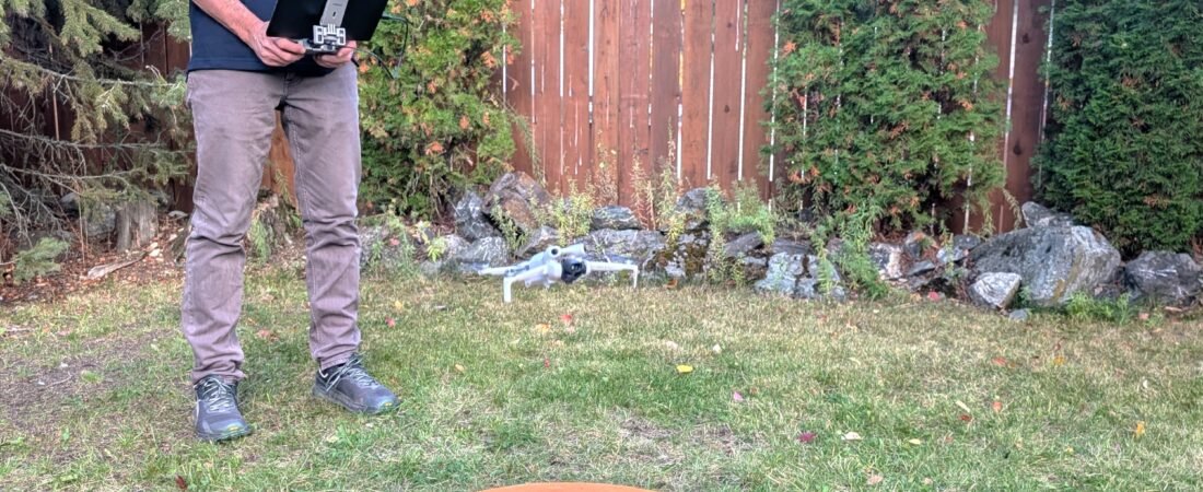
Place a mini drone on a digital scale, and it might read 248 grams. Sitting under the threshold of 250 grams, Transport Canada classifies it as a micro-drone. Under standard rules, you can launch and fly in a neighborhood located inside a local Control Zone without formal flight authorization from air traffic control.
Swap the standard battery for an extended-life pack, and the scale jumps to 254 grams.
With six extra grams of plastic and lithium, the aircraft enters the Small RPAS category. NAV CANADA no longer views the aircraft as a recreational micro-drone. Operating inside that same Control Zone now legally requires an Advanced Pilot Certificate and official NAV CANADA flight clearance just to lift off the grass.
To understand how an airport miles over the horizon gained regulatory control over private backyards starting at zero feet AGL, we have to look back at a century of legal battles and aviation physics.
The Death of Private Air Rights
For centuries, English common law followed an ancient legal doctrine: Cujus est solum, ejus est usque ad coelum (“Whoever owns the soil, owns it all the way up to Heaven”). Under this rule, a neighbor’s tree branch crossing a fence line at 50 feet was considered legal trespass.
The rise of commercial aviation in the 20th century shattered this doctrine.
In the 1940s and 1950s, landowners began suing airlines and governments for trespassing over their farms and homes. Landmark court decisions—such as United States v. Causby in the U.S. and Lacroix v. The Queen in Canada—recognized a simple truth: if private landowners owned the sky, modern air travel would be legally impossible.
The courts officially struck down the ancient rule, declaring navigable airspace a public highway and stripping landowners of property rights above their actual space of physical use.
The “Neighbor’s Backyard” Trap
Because landowners do not own the air rights above their property, some drone operators assume they can freely hover over a neighbor’s swimming pool without legal consequence.
Aviation law removed airspace ownership, but civil and criminal laws strictly protect a property owner’s right to the reasonable enjoyment of their property and privacy:
-
Civil Torts: Operating a camera drone directly over private property can lead to civil lawsuits for Intrusion Upon Seclusion or Nuisance.
-
Criminal Code Offenses: Recording individuals where there is a reasonable expectation of privacy crosses into criminal offenses such as Voyeurism or Criminal Harassment.
-
Aviation Regulations: Transport Canada explicitly prohibits operating any aircraft in a reckless or negligent manner that endangers people or property on the ground.
The 1930s Fog Problem & The Birth of Control Zones
Stripping sky ownership made high-altitude air travel legal, but it didn’t explain why airport control towers hold authority all the way down to ground level miles away from the runway.
In the 1930s, aviation introduced early Instrument Landing Systems (ILS), allowing airliners to descend through thick fog without visual contact with the ground. Descending blind through cloud cover created a severe safety hazard: an airliner breaking out of a cloud deck at 300 feet AGL could easily collide with a local aircraft flying visually underneath.
To protect aircraft on instrument approaches, regulators drew protective legal cylinders around airports extending from the surface up to specific altitudes—creating the first Control Zones.
Modern Airspace Harmonization
Prior to the 1990s, airspace was a patchwork of local naming conventions—Terminal Control Areas, Airport Traffic Areas, and Control Area Extensions. A pilot crossing international borders had to navigate entirely different rulebooks.
In 1990, the International Civil Aviation Organization (ICAO) standardized airspace globally into single-letter classifications: Classes A through G. Those early protective ground cylinders around airports were codified into the Class B, C, D, or E Control Zones used today.
Operational Authority Over Test Preparation
The moment a drone weighs 250 grams or more, it steps into a complex airspace system shaped by a century of legal precedent, instrument flight physics, and international standards. Understanding why the sky is built this way is what separates someone who simply flies a camera from an operator who commands true authority in shared airspace.
If you are ready to master Canada’s airspace regulations and build real operational confidence, explore our full training programs at Summit RPAS.